Precision in Every Data Point
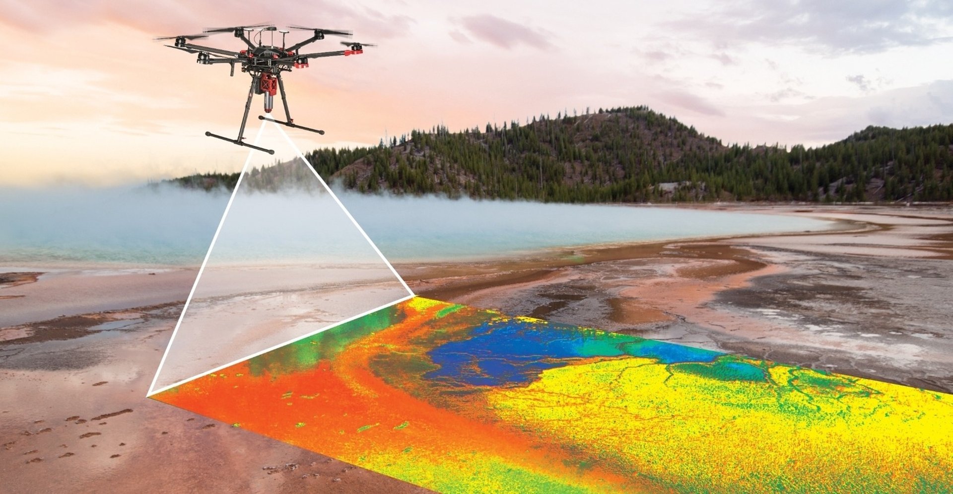
We have been in the drone industry for 13 years. At Data 360 Systems, we utilize drone technology and artificial intelligence to provide geospatial insights.


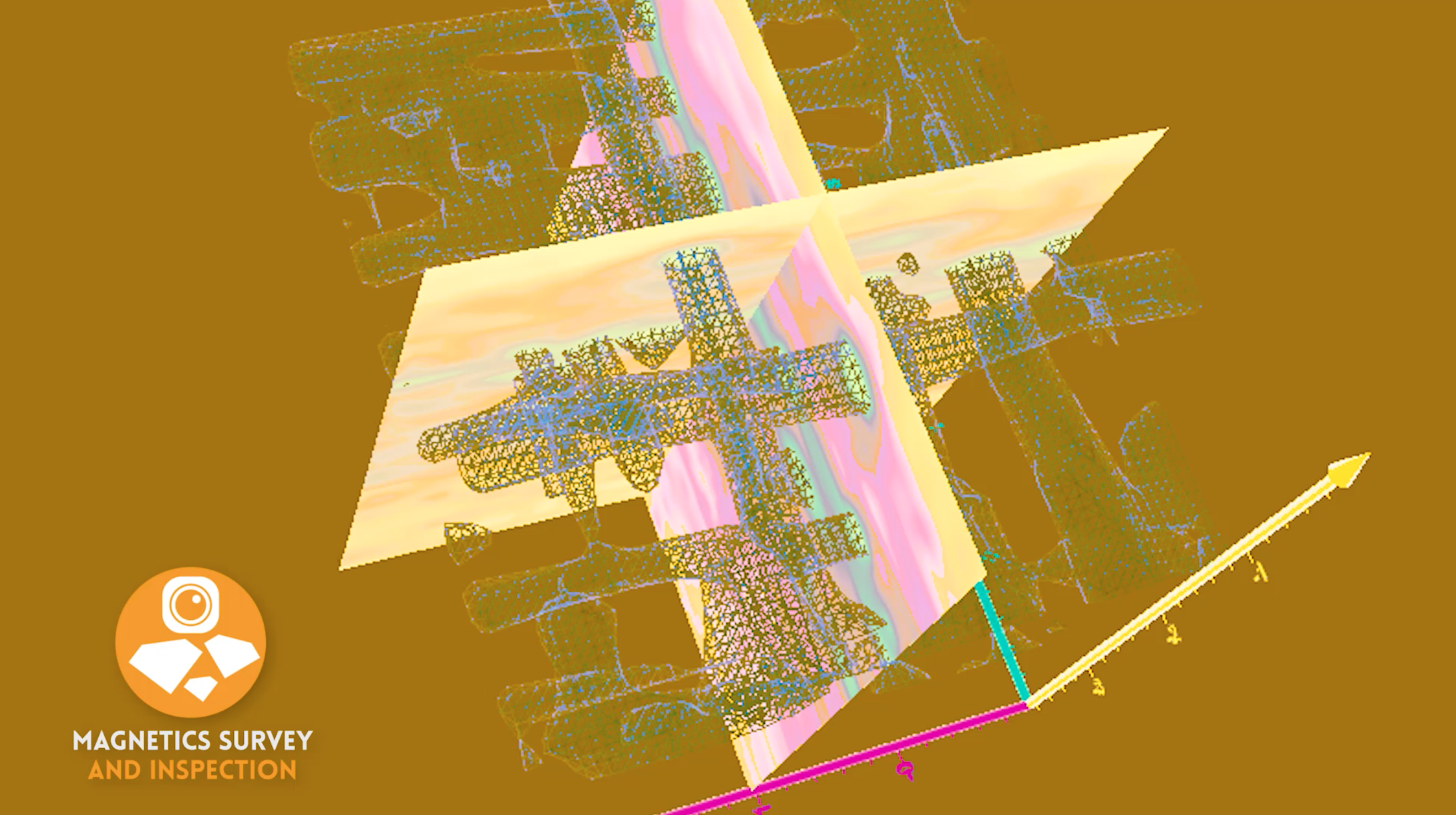
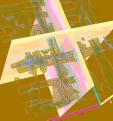
Our Expertise
Our Partners
We collaborate closely with academe, government agencies, and private sectors, ensuring data-driven decisions that enhance infrastructure resilience and efficiency.
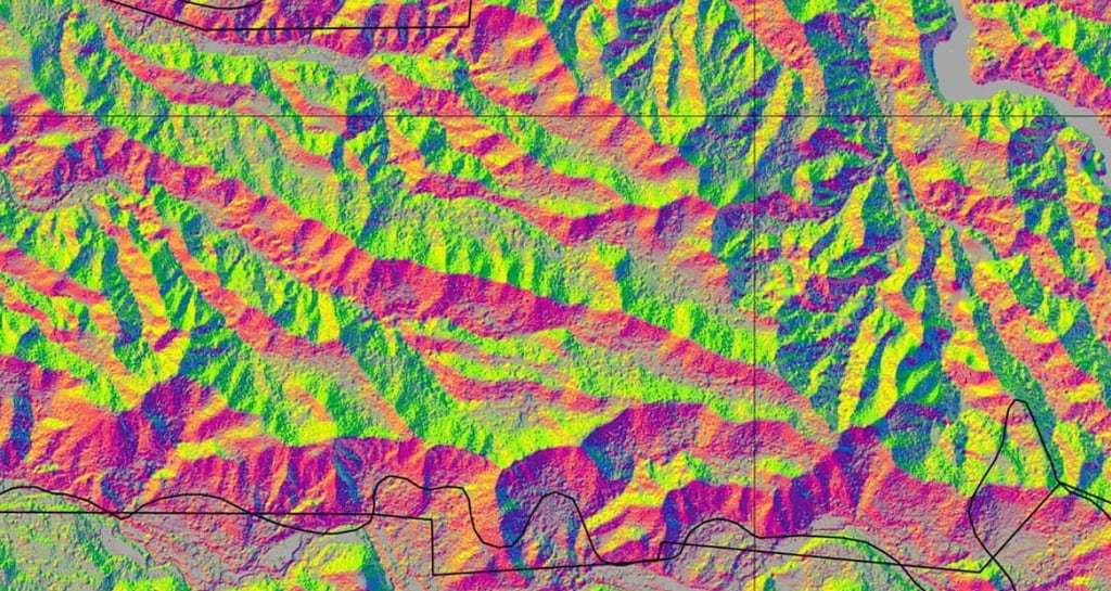
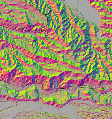
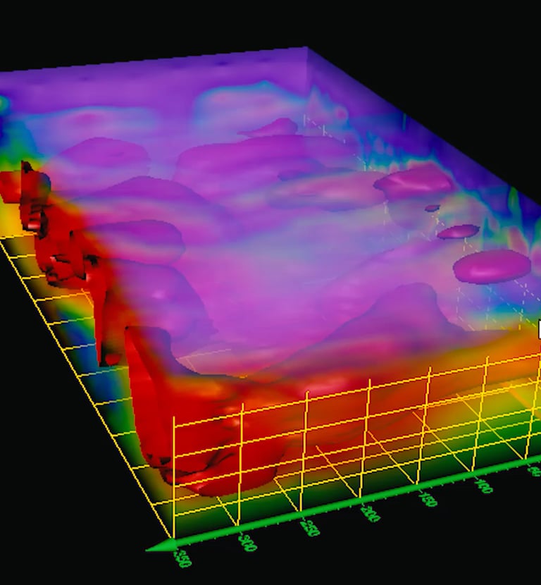
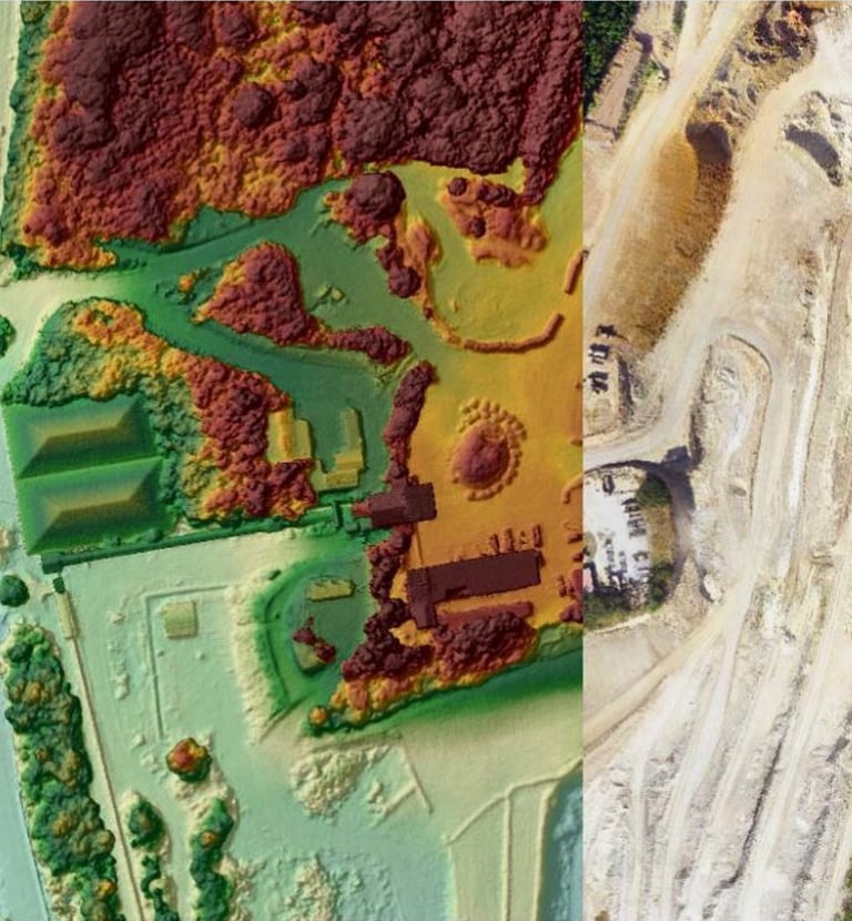
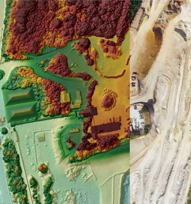
Our Work
Precision drone captures powering business insights.

Connect
Reach out to discuss your next infrastructure project.